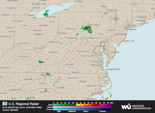
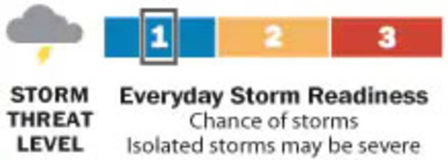
| TODAY'S DAILY DIGIT A somewhat subjective rating of the day's weather, on a scale of 0 to 10. | | 5/10: Temps down a bit, but storm chances up, especially during the afternoon into evening. | | EXPRESS FORECAST Today: Not as hot, scattered PM storms likely. Highs: Mid-80s to near 90. | | | Tonight: Scattered evening storms possible. Lows: Upper 60s to low 70s. Tomorrow: Isolated to scattered storms possible. Highs: Mid-80s to near 90. | | FORECAST IN DETAIL We're stuck in a pretty static pattern today into the weekend, with an upper-level area of low pressure overhead and a stalling cold front here near the surface. That means a bit cooler temperatures than the past few days, with not only a good chance of scattered showers and storms later today, but also a continuing risk of isolated to scattered showers and storms tomorrow and beyond. | | | Today (Wednesday): Not as hot today. That's the good news, as some clouds and a cold front hold temperatures back a bit, with highs in the mid-80s to near 90 under partly cloudy skies. But that cold front and moderate to high humidity means an isolated shower or thundershower is possible this morning into early afternoon, with a better chance of scattered showers and storms midafternoon into evening, especially around 2 to 8 p.m. Any storms could produce heavy rain, gusty winds and dangerous lightning. Confidence: Medium-High Tonight: We'll continue to see that higher chance of scattered showers and storms before 8 p.m. or so, with more of an isolated shower or storm risk late evening and overnight. Otherwise, we're partly to mostly cloudy and fairly muggy, with lows in the upper 60s to low 70s. Confidence: Medium | | Follow us on Facebook, Twitter and Instagram for the latest updates. For related traffic news, check out Gridlock. Keep reading for the forecast through the weekend... Tomorrow (Thursday): The pattern remains unchanged as we head back toward highs in the mid-80s to near 90, with partly cloudy skies and plenty of humidity. That cold front lingers nearby, providing a chance of isolated to scattered showers and storms, mainly during the late afternoon into evening. Confidence: Medium | | Tomorrow night: Scattered showers and storms remain a decent risk during the early to mid-evening, and then a few showers and storms may linger later into the evening or overnight as we stay moderately humid. With partly to mostly cloudy skies, lows settle again in the upper 60s to low 70s. Confidence: Medium | | A LOOK AHEAD No big changes to the overall pattern Friday into the weekend, with an upper-level area of low pressure overhead, and the stalled front still nearby. The upshot is partly sunny skies and a daily chance of isolated to scattered showers and storms, especially (but not limited to) the midafternoons into evenings, although there's a chance the storm risk could trend lower by Sunday. Highs continue in the mid-80s to near 90, with nighttime lows in the upper 60s to low 70s. Confidence: Low-Medium | | | | | | | |


Komentar
Posting Komentar