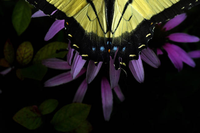
| A butterfly is illuminated by a camera flash in the photographer's front yard on Wednesday in Springfield, Va. (Matt McClain/The Washington Post) | TODAY'S DAILY DIGIT A somewhat subjective rating of the day's weather, on a scale of 0 to 10. | | 5/10: Welcome to August and you can trust, heat/humidity are a must with a few storms to settle the dust. | | EXPRESS FORECAST Today: Partly sunny, scattered late day storms. Highs: 85-89 | | | Tonight: A few storms then partly cloudy. Lows: 66-72 Tomorrow: Plenty of clouds, shower/t'storm chances through the day. Highs: 82-86 | | FORECAST IN DETAIL For those who do not typical Washington summer weather...hide. Heat and humidity are moderately high and thunderstorm chances are present through at least Saturday. Shower and storm threats do finally diminish Sunday and Monday. | | Get our daily forecasts on your Amazon Alexa device. Click here to find out how. Today (Thursday): Skies should be clearing in the morning but as it warms clouds pop back up. By afternoon some of these build into thunderstorms. Even though they are likely to be pretty hit and miss, they will be capable of a heavy downpour. Highs peak in the mid-to-upper 80s with noticeable humidity (dewpoints near 70). Winds are minimal. Confidence: Medium-High | | | Tonight: A few thunderstorms could linger in the evening but most dissipate quickly. Winds remain nearly calm and borderline high humidity does not budge. Overnight lows reach the mid-to-upper 60s (lower 70s downtown). Confidence: Medium-High Follow us on Facebook, Twitter, and Instagram for the latest updates. For related traffic news, check out Gridlock. Keep reading for the forecast through the weekend... | | Tomorrow (Friday): Clouds are plentiful and capable of producing on and off showers through the day with a few thunderstorms mixed in by afternoon. Don't look for a washout but keep the umbrella in hand. Winds are very light. Humidity remains moderately high with highs mainly in the mid-80s. Confidence: Medium-High Tomorrow night: Showers/thunderstorms should die out in the evening but clouds remain. Lows hold in the upper 60s to lower 70s. Confidence: Medium-High | | A LOOK AHEAD Saturday remains humid with an ever present shower/thunderstorm chance (best chance in the afternoon and early evening). There should be plenty of breaks to get outdoor activities in for most. Highs are mainly mid-80s. Showers diminish quickly by sunset with overnight lows in the upper 60s to lower 70s. Confidence: Medium | | Humidity is still moderate on Sunday but with a little luck most of the showers and thunderstorms favor areas south of the city. That allows more sun to shine through and highs climb to the mid-to-upper 80s. A clearer evening may finally afford a view of the slim but growing crescent moon in the west. Lows are mid-to-upper 60s, but lower 70s downtown. Confidence: Medium Monday has a better chance of seeing rains stay to our south but still close enough for a risk. More sunshine can be expected to push highs to the mid-to-upper 80s and moderate humidity. Confidence: Medium | | | | | | | |


Komentar
Posting Komentar